

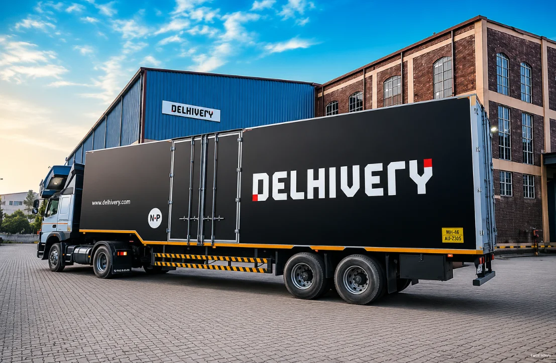
India’s logistics sector is evolving rapidly, and Delhivery has taken a significant step forward with the launch of Delhivery Maps, an AI-native mapping suite designed specifically for commercial logistics. As the company celebrates its 15-year journey, this new platform represents more than just a technology upgrade- it showcases how years of logistics expertise can be transformed into a powerful infrastructure solution for businesses across industries.
What Is Delhivery Maps?
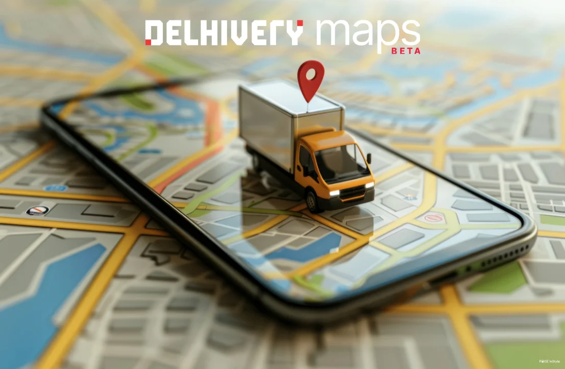
Unlike conventional mapping platforms built primarily for consumer navigation, Delhivery Maps has been developed to address the unique challenges of commercial logistics. The platform offers capabilities such as geocoding, address validation, vehicle-aware routing, and navigation, helping businesses improve route planning and operational efficiency.
The mapping suite is already being used across Delhivery’s own logistics network and is now available to external enterprises and developers. This opens up opportunities for businesses that depend on accurate location intelligence to streamline deliveries, reduce operational bottlenecks, and improve customer experiences.
Built on Billions of Logistics Data Points
One of the biggest strengths of Delhivery Maps is the scale of data powering it. The platform has been built using insights from more than 2 billion shipments, 1 billion daily GPS pings, and a network of over 100,000 vehicles. This extensive operational dataset gives the system a deep understanding of real-world logistics challenges.
Commercial transportation often involves complexities that traditional navigation tools may not fully address. Factors such as vehicle size, delivery schedules, road restrictions, and address accuracy can significantly impact efficiency. By leveraging years of logistics data, Delhivery Maps aims to provide routing and navigation solutions tailored specifically to these operational realities.
Why This Launch Matters for Businesses
The launch of Delhivery Maps marks an important shift for the company. Delhivery is no longer positioning itself solely as a logistics provider; it is also becoming a mapping infrastructure company. By opening its internally developed technology to external users, the company is turning operational intelligence into a product that other businesses can use and benefit from.
This could be particularly valuable for sectors such as quick-commerce, ride-hailing, e-commerce, and gig-based services. These industries rely heavily on accurate addresses and efficient routing while frequently dealing with challenges such as delivery delays, location errors, and customer disputes. Access to logistics-focused mapping technology could help improve efficiency and reduce operational costs.
The Role of AI and Naksha LLM
A key differentiator of the platform is Naksha LLM, Delhivery’s reasoning model. Its inclusion highlights that Delhivery Maps is more than a standard mapping solution. The AI-powered system is designed to interpret logistics challenges, analyze variables, and support better decision-making.
In commercial logistics, even small routing errors can create significant delays and costs. By incorporating AI into the mapping process, Delhivery aims to offer more context-aware and practical solutions for real-world delivery operations.
The Bigger Picture for India’s Logistics Industry
Delhivery Maps reflects a broader trend in which Indian companies are leveraging years of operational expertise and proprietary data to create scalable technology products. If the platform performs as expected, it could become an important tool for enterprises seeking logistics intelligence rather than just basic navigation services.
More importantly, the launch signals that the future of mapping innovation may increasingly come from companies with deep delivery and logistics experience. As businesses continue to prioritize speed, accuracy, and efficiency, solutions like Delhivery Maps could play a crucial role in shaping the next generation of commercial logistics.

